By Ashley Cline
Street murals across the state were removed by a Sept. 4 deadline to comply with recent Florida legislation. Aside from the erasure of local art and messaging, this change has also brought discussions on pedestrian safety in urban centers to the forefront.
To University of South Florida senior Audrey Everett, currently a planning and transportation intern for the Tampa Downtown Partnership, St. Petersburg’s street murals represented a two-fold mission— to cultivate culture and ensure safety.
“Having those art installations on the road signals two things,” Everett said. “Number one, that we care about safety. St. Pete is leading the way for Florida cities in safety and trying to become a walkable and more sustainable city. Number two, we’re a city of artists. We’re a city of culture. And so you see that reflected in the diverse, different kinds of paintings and murals that we had.”
Amber Dickerson, planner in residence and assistant instructor for USF’s Master of Urban & Regional Planning program, said that programs meant to enhance safety for pedestrians have been a priority as residents flock to St. Pete’s flourishing downtown.
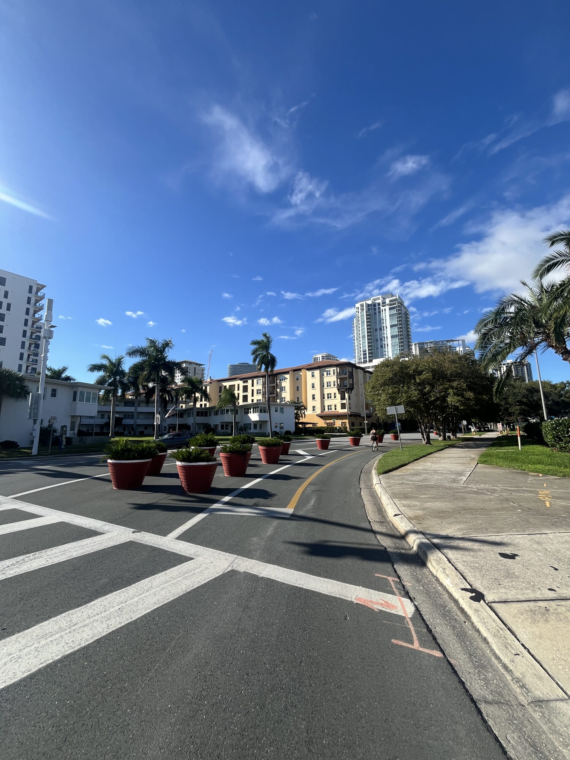
Dickerson said that these enhancements can take the form of high-level infrastructural initiatives or smaller, community-driven projects, such as street murals.
“Unfortunately, Florida does have a negative reputation with pedestrians and crashes,” Dickerson said. “So that has been a huge initiative for St. Pete and for Pinellas. We want to make sure that Vision Zero, trying to get to zero deaths on roadways, is ideal. When folks are having fun and enjoying the parks, we don’t want to have any accidents.”
Everett notes street art as an example of tactical urbanism, a concept in urban planning that encourages the installation of cost-effective, and often temporary, solutions to problems faced within a community, such as unsafe intersections or pedestrian visibility.
“The cool part about tactical urbanism is that you don’t have to go through this long bureaucratic process,” Everett said. “It’s just the community noticing a problem and then coming up with solutions, doing quick builds or quick fixes and putting things up, testing how they like it.”
Tactical urbanism, when applied to urban roadways, can manifest itself in a variety of ways. The inclusion of outdoor seating near sidewalks and creation of temporary barriers between car and bike lanes are two common examples. These initiatives aim to subconsciously slow down drivers and make space more welcoming for pedestrians.
“When you have a curb and a ton of pavement, people tend to go fast,” Dickerson said. “Well, when you put big planters on the side of the sidewalk, it naturally causes traffic calming.”
According to WUSF, the statewide memo Florida Department of Transportation sent to request the removal of street art noted that such installations can cause misunderstandings that could jeopardize safety. This statement conflicts with principles of tactical urbanism as well as previous research, such as Bloomberg Philanthropies’ Asphalt Art Safety Study, which came to the opposite conclusion.
Although street art is now off the table, Dickerson said that the data gathered from intersections and roadways with art installations will be important in driving future initiatives and allocating funding.
“We collected a lot of data before the crosswalks were painted in that way, collecting data while they were in place and then collecting data after they’re removed,” Dickerson said. “I think it’s really important for urban planners and governments to analyze that data to have it in their back pocket— stating that we can support that this crosswalk, in its painted way, was actually safer than before and after.”
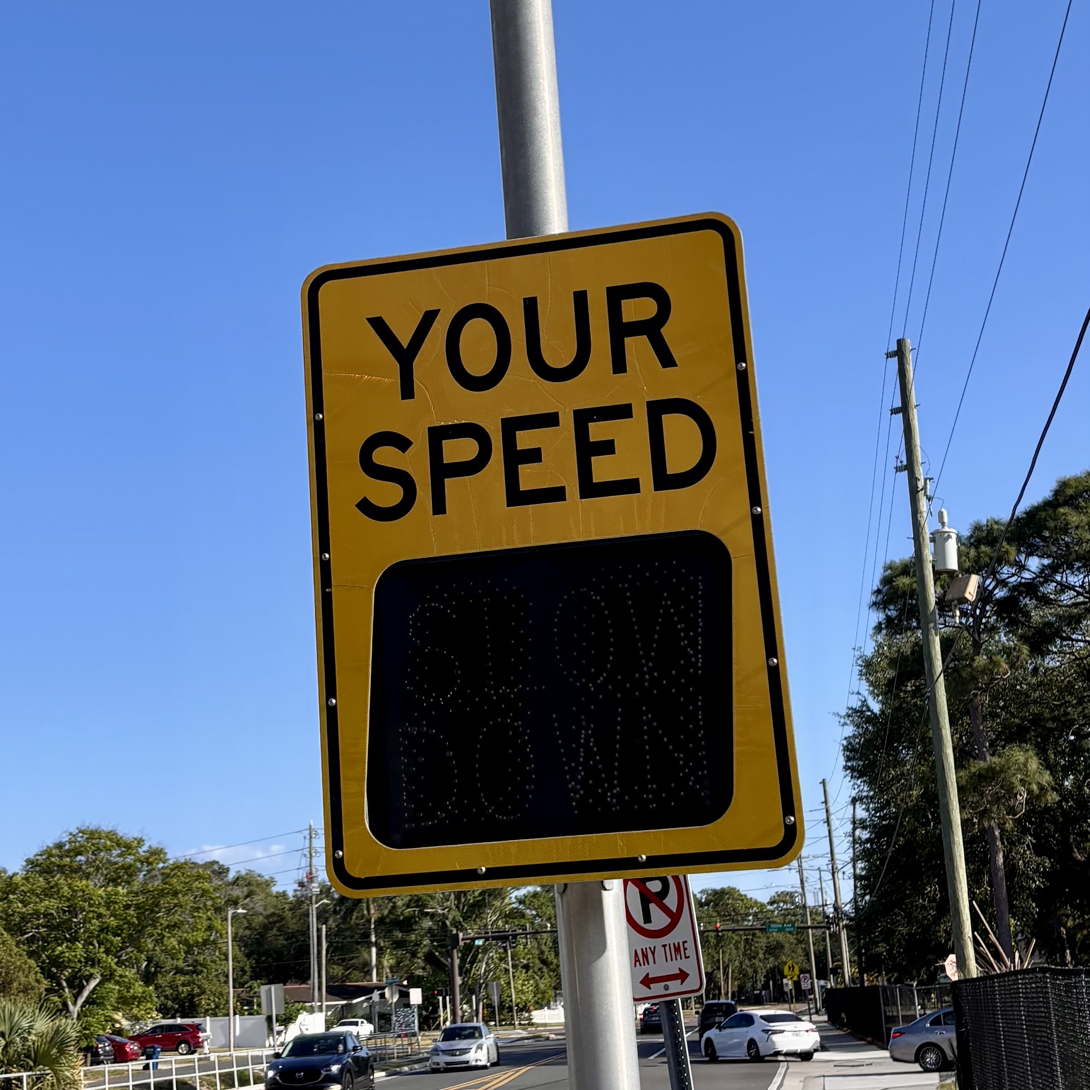
Data is central to the work of USF’s Center for Urban Transportation Research, which seeks to collect pedestrian data and provide it to agencies and organizations that seek to install physical and technological solutions. CUTR Director Sisinnio Concas said that he focuses heavily on “the technologies that generate a vast amount of data to make inferences.”
This data is collected through a variety of inputs, including cameras, antennas and, in some cases, the vehicles themselves.
Concas said that certain “intelligent” intersections provide insights on how many pedestrians utilize particular crosswalks and the amount and types of conflicts with vehicles that occur.
After data is analyzed by the organization, it can be used to support the funding of new initiatives, which can take the form of permanent infrastructure like pedestrian beacons to the creation of pedestrian-friendly green spaces in urban areas, exemplified by projects like the Selmon Greenway in Tampa, Florida.
Concas’ work also means looking beyond current infrastructural norms and technologies. His current efforts point to a future in which drivers could be notified of pedestrian crossings and hazards on their vehicle’s heads-up display or smartphone through over-the-air communication from pedestrian beacons and signals.
“It’s moving forward and thinking that, in the future, people will be more and more integrated with all the technology within the vehicle, and they will be paying more attention to what’s going on within the vehicle rather than signs outside,” Concas said.
Whether through temporary fixes or high-level technological advancements, pedestrian safety will continue to be defined by the collective needs of the community and supported by local data collection and research efforts.
“Pedestrian safety gets so few dollars compared to everything else, so the data helps you focus on the biggest problems, that’s where you want to funnel your money,” Dickerson said.